(817) 529-1180 | info@transgloballlc.com

Precision From Which the Vision is Built.

Survey

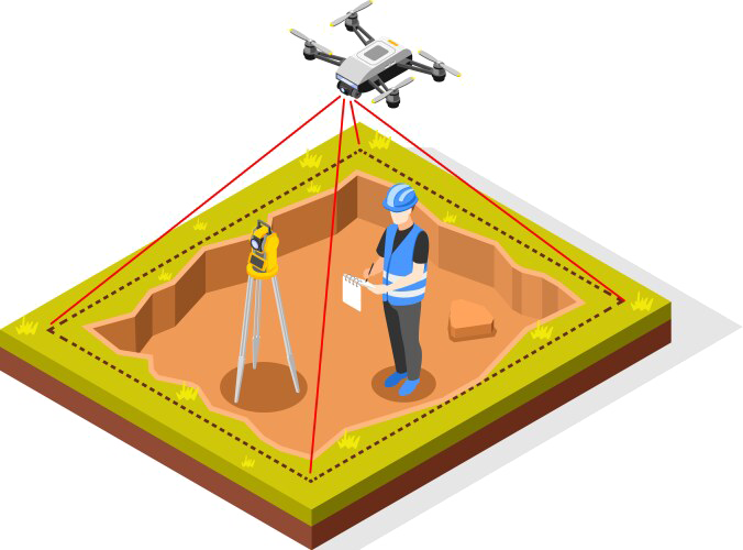
From land boundaries to elevation certificates, Transglobal delivers survey data you can trust; accurate, timely, and critical to every phase of development.

Survey Process
Drone Survey
Survey Equipment

1. Traditional Land & Infrastructure Surveying

  • Boundary and cadastral surveys
  • Topographic and terrain mapping
  • Route and corridor surveys for pipelines, transmission lines, and access roads
  • Construction staking and layout
  • As-built surveys and verification
  • Control network establishment and densification
  • Utility and infrastructure location surveys

2. Facility & Site-Specific Surveying

  • ALTA/NSPS land title surveys
  • Site grading and drainage surveys
  • Structural and foundation layout
  • Mechanical, electrical, and plumbing (MEP) layout support
  • Tank and vessel positioning
  • Substation and compressor station layout
Technology Solutions
Construction Team
Survey Tool

3. Advanced Aerial & Remote Sensing Technologies

  • Drone (UAV) Surveys:
    • High-resolution aerial imagery
    • Orthomosaic mapping
    • Volumetric analysis (e.g., stockpiles, cut/fill)
  • LiDAR (Light Detection and Ranging):
    • Dense point cloud generation
    • Bare-earth modeling through vegetation
    • Digital elevation and surface models (DEM/DSM)
  • Remote Sensing & Satellite Imagery:
    • Vegetation and land use analysis
    • Change detection and monitoring
    • Thermal and infrared imaging

4. Subsurface & Utility Detection

  • Ground Penetrating Radar (GPR):
    • Subsurface utility location
    • Void and anomaly detection
    • Concrete scanning and rebar mapping
  • Electromagnetic and magnetic utility locating
  • Utility conflict analysis and mapping
Project Management
Drone Survey
Survey Equipment

5. GIS & CAD Integration

  • Full CAD drafting and design support (AutoCAD Civil 3D, MicroStation, etc.)
  • GIS data creation, editing, and analysis (ArcGIS, QGIS)
  • 3D modeling and visualization
  • Spatial data integration with engineering and environmental datasets
  • Real-time field-to-office data syncing

6. TGS Transformâ„¢ GIS Collaboration Platform

  • Centralized, cloud-based GIS platform for project collaboration
  • Real-time access to survey data, maps, and reports
  • Custom dashboards for project tracking and decision-making
  • Secure client portals for document and data sharing
  • Integration with CAD, LiDAR, and drone datasets
Survey Management & Safety
Project Management
Safety Compliance

7. Project Management & Real-Time Reporting

  • Dedicated project managers for survey coordination
  • Scheduling, budgeting, and resource allocation
  • Daily field reports and progress tracking
  • Real-time data uploads from field crews
  • QA/QC workflows and audit trails
  • Client notifications and milestone alerts

8. Compliance & Safety

  • OSHA-certified field crews
  • DOT and FERC compliance support
  • Environmental and cultural sensitivity training
  • Safety audits and risk assessments

Powered by

TGS Transform is an innovative online platform where Transglobal clients can collaborate, view, deliver, organize and share all data and files related to their active projects and existing assets. This Web Viewer ultimately gives our clients the ability to further monetize their assets, all while providing a user-centric browsing experience.

Schedule a Demo