(817) 529-1180 | info@transgloballlc.com

Visualizing the World to Shape the Future.

Geospatial Services

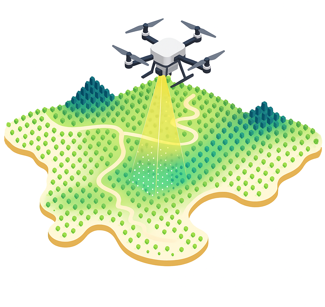
Transglobal's GIS solutions bring every data point together—giving you real-time visibility, control, and insight across your entire asset lifecycle.

GIS Process
Real-Time Data Visualization
Unified Data Aggregation

1. Real-Time Data Visualization & Collaboration

  • Live project tracking through TGS Transform™, a secure, web-based GIS platform
  • Visual progress dashboards showing survey, land, environmental, and permitting updates
  • Interactive web maps accessible from any device for real-time field-to-office collaboration
  • Custom layers and symbology to highlight project milestones, constraints, and asset status

2. Unified Data Aggregation & Integration

  • Aggregation of internal data from Transglobal's departments (Survey, Land, Environmental, Regulatory)
  • Integration of external datasets:
    • Public data (e.g., BLM, USGS, FEMA, EPA)
    • Proprietary subscriptions (e.g., parcel data, aerial imagery, utility databases)
  • Centralized spatial database for all project-related information
  • Seamless integration with CAD, LiDAR, drone, and remote sensing outputs
Data Visualization
Spatial Document Intelligence
Advanced GIS Analysis

3. Spatial Document & Contract Intelligence

  • Geospatial tagging of contracts, leases, permits, and easements
  • Visual mapping of obligations, expiration dates, and encumbrances
  • Spatial analysis of contract overlaps, gaps, and risk zones
  • Document search and filtering by location, type, or status
  • Asset and contract management through map-based dashboards

4. Advanced GIS Analysis & Reporting

  • Constraint mapping and suitability analysis
  • Proximity and buffer analysis for regulatory compliance
  • Environmental impact overlays (wetlands, species habitat, cultural sites)
  • Route optimization and corridor planning
  • Custom reports and map exports for permitting and stakeholder engagement
TGS Transform Platform
CAD Engineering Integration
Secure Infrastructure

5. CAD & Engineering Integration

  • Full support for AutoCAD Civil 3D, MicroStation, and other design platforms
  • Bi-directional data exchange between GIS and CAD environments
  • 3D modeling and visualization of terrain, infrastructure, and facilities
  • As-built integration and construction verification mapping

6. Secure, Scalable, and Compliant Infrastructure

  • Internally hosted GIS environment with SOC 2 compliance
  • Role-based access control and data encryption
  • Daily backups and disaster recovery protocols
  • Audit trails and version control for all spatial data and documents
Secure Infrastructure
Project Management & Client Enablement

7. Project Management & Client Enablement

  • GIS-enabled project planning and scheduling tools
  • Real-time updates and alerts for field progress and data uploads
  • Custom client dashboards for KPIs, timelines, and deliverables
  • Collaborative tools for commenting, redlining, and approvals

Powered by

TGS Transform is an innovative online platform where Transglobal clients can collaborate, view, deliver, organize and share all data and files related to their active projects and existing assets. This Web Viewer ultimately gives our clients the ability to further monetize their assets, all while providing a user-centric browsing experience.

Schedule a Demo